



Our service areas
Expertise for land,
places and development.
From development advice to county and regional planning, find the expertise your assignment needs.

Physical & land use planning
County and local plans, zoning, regeneration and transport strategies.
Explore planning ↗
Development approvals & land advisory
Planning due diligence, changes of use, subdivision, amalgamation and development applications.
Explore land advisory ↗
Environmental & social safeguards
Impact assessment, environmental audits and climate resilience planning.
Explore safeguards ↗
GIS, spatial analytics & research
GIS mapping, spatial analysis and socio-economic research to inform planning decisions.
Explore spatial evidence ↗
The practice behind the work
A considered approach
to every assignment.Good planning begins with understanding the place and the decision at hand. We bring the brief, applicable requirements, spatial evidence and professional inputs together around a clear scope of work.
Planning across scales
From a development site to a county-wide spatial plan.
Wider region
Urban area
Site
Sites & developments
Development advice and approvals.
Towns & urban areas
Local plans, zoning and regeneration.
Counties & regions
Spatial plans and strategic frameworks.
From the first brief
to handover.Clarify the objective
Understand the context, objectives and stakeholders.
Agree the scope
Define the work, responsibilities, inputs and milestones.
Develop and coordinate
Bring evidence, professional inputs and stakeholder perspectives into the work.
Review and hand over
Review the outputs and agree the next steps.
Focused offerings
Our signature solutions.
Planning, spatial evidence and coordination brought together around a defined challenge.
Spatial Intelligence Hub™
GIS, spatial analysis and research to examine places, identify patterns and inform planning decisions.

Resilient Cities Lab™
Planning and environmental thinking brought together around climate exposure, resilience and community needs.

Planning Approvals Accelerator™
Planning checks, application preparation and coordination to clarify requirements and strengthen submissions.
Knowledge Library
Planning knowledge
for Kenya.Explore spatial plans, planning law and practical guidance, with resource summaries, edition details and links to source documents.
National Spatial Plan, 2015–2045 ↗
Kenya’s national spatial framework connects settlement patterns, transport networks and land resources, providing context for county and urban plans.
Spatial plans ↗
Plans that shape places and development.
Planning law ↗
The legal framework around planning.
Practical guidance ↗
Reference material for planning practice.
 World Cities Day - Regenerating the City: Adequate Housing for AllSat, 31 OctGlobal Observance
 World Habitat DayMon, 05 OctLocation is TBD
 World Urban Forum (WUF13)Sun, 17 MayBaku
 UN Climate Change Conference (COP30)Mon, 10 NovBelém
Insights
Perspectives on planning
and development.
Start with your project.
Tell us about your planning or development objectives, the area involved and the support you need. We can discuss the scope and next steps.



Cities & development
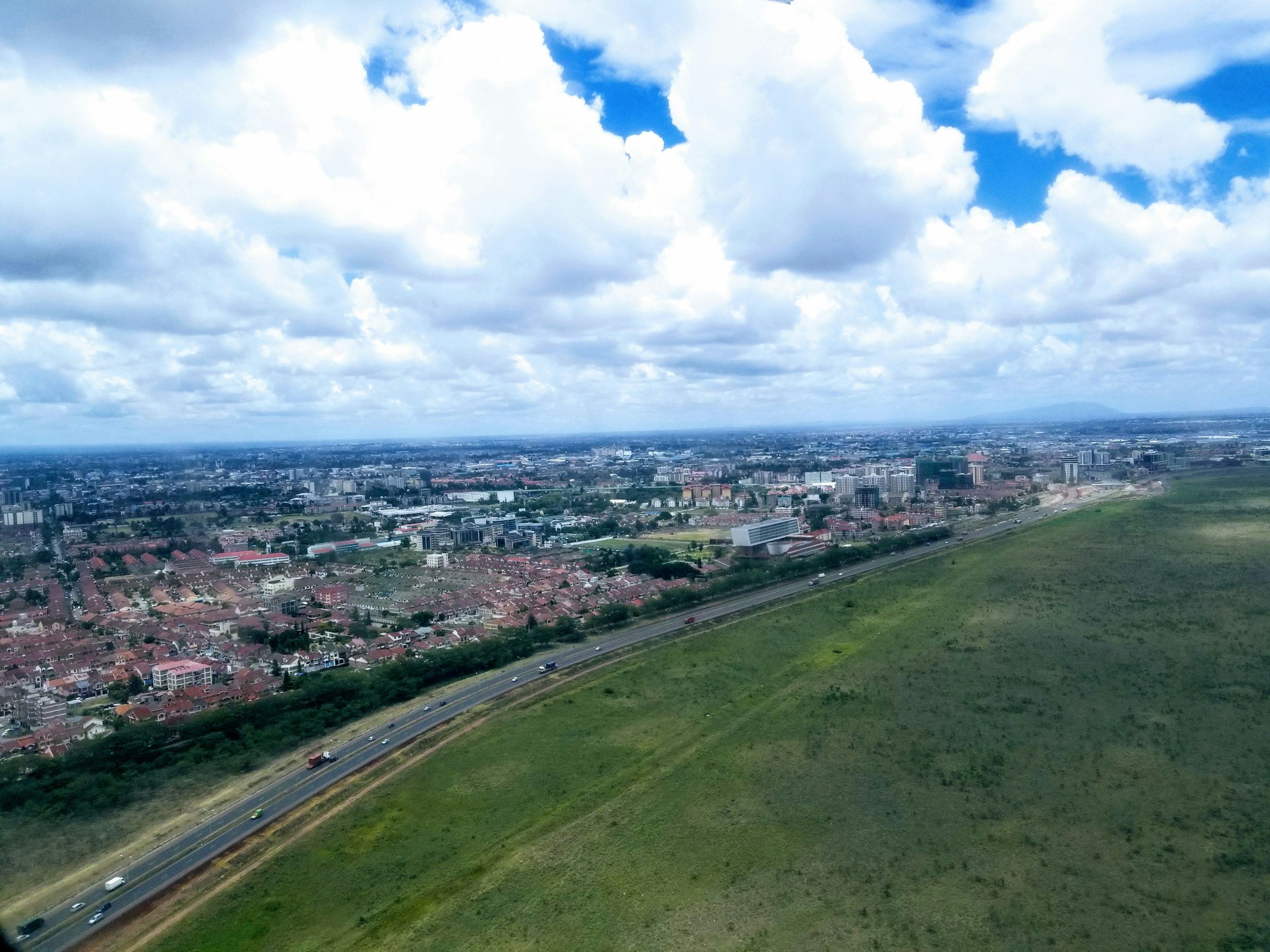
Nairobi is growing upwards. Are we planning for density?
A closer look at the planning questions behind a changing urban skyline.
Spatial evidence
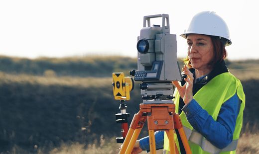
How GIS, surveys and field data build the full picture.
Bringing different sources of evidence together to better understand communities.
Planning & approvals
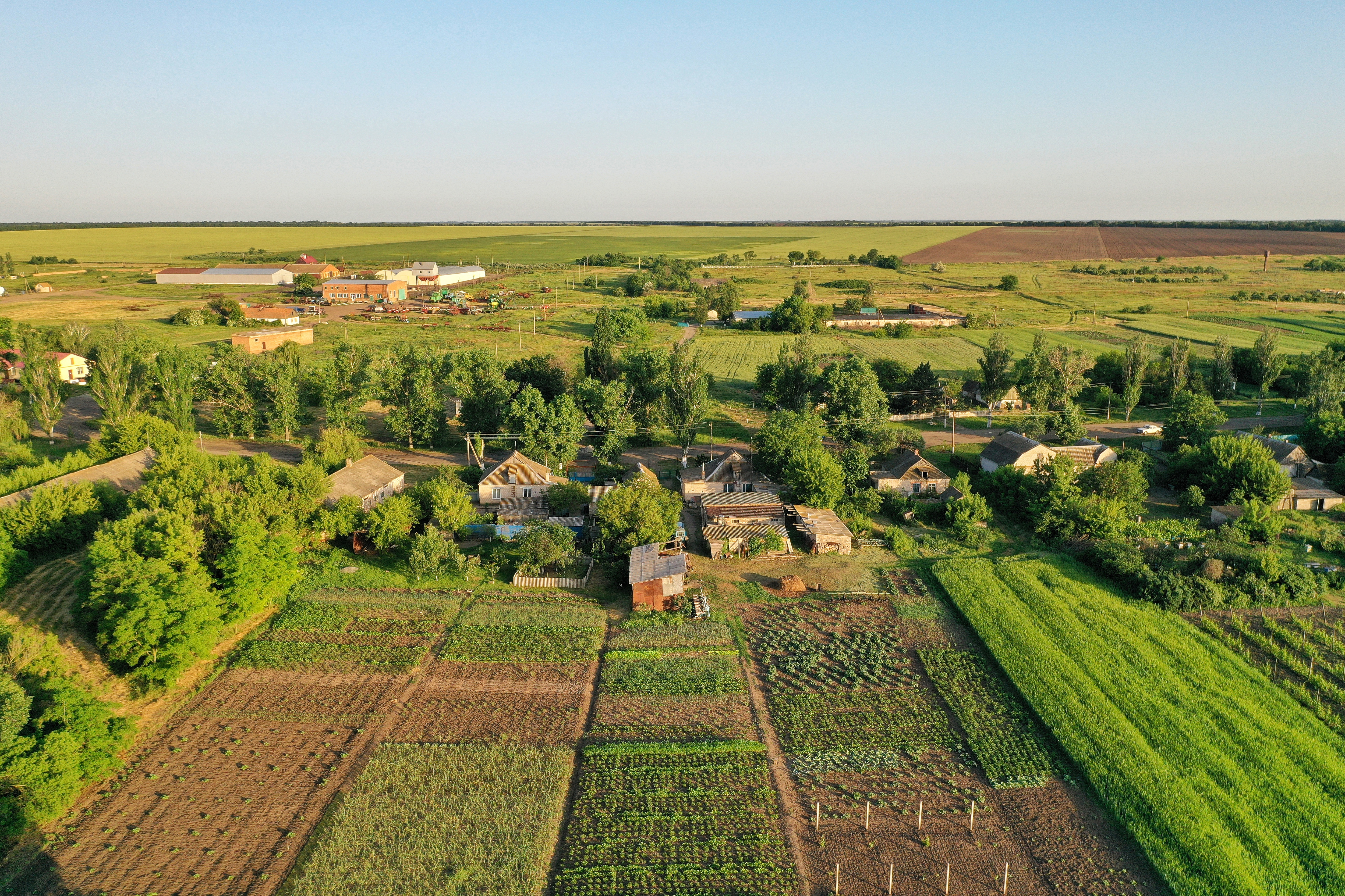
Building in Kiambu? Check the planning position first.
Zoning, existing permissions and the information to prepare before a development application.


